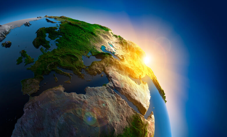
Looking at the map of the Earth, we see Asia and Europe in the Northern and Eastern Hemispheres, which are joined together, and for this reason, they are often referred to as “Eurasia”. The separation of these two is more cultural than scientific. So, is it fair to say that we actually have six continents, not seven? Of course, this is only the first step in the beginning of a challenging adventure. What do you think about North America and Asia?
North America and Asia are connected by the Bering Sea Plate, which was once a landmass that humans traveled through. This land has been geologically submerged in the recent past. From this point of view, it can be said that Asia, North America and Europe are actually one continent. So at this point we reach five continents?
But some experts go further and believe that there are not five, six or seven, but eight continents. Some even believe in the number of two continents. Although simple and happy children’s rhymes have created a general agreement about the number of continents, the truth is something else.
Geological challenges in defining continents
Part of the disagreement over the number of continents is because there are actually two definitions of a continent: one that is recognized by cultures, and one that is officially defined by geologists. Cultures define continents however they want, but geologists must work according to the scientific definition. Recent geological research has made the demarcation of continents more complicated by discovering unexpected continental materials.
Geologists use the scientific definition to identify continents
Valentine Rimea geologist at the University of Friborg in Switzerland, says: “This has attracted a lot of attention because of the important implications it has for understanding the mechanisms of continental breakup, ocean formation and plate tectonics. “But after the initial excitement, there are many scientific discussions and detailed investigations to ensure the authenticity of the evidence.”
According to the geological definition, four features must be present for a part of the planet to be considered a “continent”:
- High altitude compared to the ocean floor
- There is a wide range of igneous rocks, metamorphic rocks and sedimentary rocks rich in silica.
- Thicker crust than oceanic crust in surrounding areas
- Existence of clear boundaries around an area of sufficient size
The first three are found in almost all geology textbooks, but not the fourth criterion. What area is “large enough” or how “well-defined” continental boundaries should be is less debated; Unless geologists are studying parts of the planet that are on the verge of becoming continental.
Nick Mortimer“Anything that can change the map of the world is important,” says geologist at the GNS Institute of Scientific Research in New Zealand. Naming and identifying a part of the Earth as a continent, even if it is small, thin and underwater, gives us more information than leaving a part of the map blank.”
But the new definition makes it difficult to count the continents.
Blurred boundaries of continents
Imagine Iceland. This land is located on a fault that stretches across the world and is a branch of the Mid-Atlantic Ridge mountain range. Volcanic activity at this location is slowly pushing the tectonic plates beneath North America and Europe apart. Most of this ridge is deep in the ocean, but in Iceland it is above sea level.
Another challenge that arises is that Iceland’s volcanoes, despite being thousands of kilometers away from any continent, often throw out magma that consists of molten continental crust. For this reason, some geologists believe that Iceland is not just a remote island in the sea, but perhaps part of a continent. However, exactly which continent Iceland belongs to is debatable.
There is no clear border where Africa ends and Asia begins
The hypothesis is also strengthened by evidence from the east coast of Africa. In the Red Sea, the mid-ocean ridge is separating Africa from Asia. This separation is happening at a rate equivalent to the growth of our fingernails. The separation is simple and clear in most parts of this ridge, but the situation becomes more complicated at the confluence of the Red Sea and the Gulf of Aden. In that region, instead of a distinct point of crust thinning and oceanic crust formation, the continental crust between Africa and Asia is broken into hundreds of pieces, and there is no clear boundary to indicate where Africa ends and Asia begins.
Jillian Folger“The zone is like a thick, elastic toffee, but it hasn’t ruptured yet,” says a geologist at Durham University in England.
In a recent study published in the journal Geology, Dr. Reem and his colleagues showed that Iceland has a similar structure and resembles the same “stretched toffee” under the surrounding seas. Instead of a clear break between North America and Europe, a complex mix of magma and pieces of continental crust stretches between the two landmasses, passing through Iceland. Just like the Red Sea and the Gulf of Aden, there is no clear boundary where North America ends and Europe begins in Iceland.
If Africa is connected to Asia through the Gulf of Aden and North America to Europe through Iceland, the “definition of seven continents” is somewhat questioned. If the crust between these continents is stretching but not tearing, is the boundary clear enough to call these two landmasses separate continents? Or are they considered a continent?
Zealandia, a new continent
And of course, after all we get to New Zealand, which throws off all the calculations. Although New Zealand and Australia are often grouped together, they are not located on the same continent. Australia is usually recognized as an independent continent, but it is also a recent theory that New Zealand may be part of an independent continent called “Zealandia”.
Vast underwater plateaus that extend for kilometers beyond New Zealand are above the surface of the ocean floor. At the edge of these plateaus, there are deep waters and oceanic crusts that are thinner than continental crusts. Excavation samples, collected rocks and seabed rock samples show that the huge mass on which New Zealand is located is composed of igneous, metamorphic and sedimentary rocks rich in silica, which all continents have similar characteristics.
read more
Although Zealandia is not culturally recognized as a continent, Mortimer says, “Geologically, the area is broadly continental.”
However, not everyone agrees and points to a fourth criterion that is ignored in most textbooks. Zealandia’s crust is between 10 and 30 km thick, which is thicker than normal oceanic crust, but not as thick as continental crust, which is typically between 30 and 46 km thick. This feature makes the boundaries between Zealandia and the ocean less clear and the boundaries are difficult to identify. Zealandia’s size is also problematic; The continent is about 4.9 million square kilometers, while Australia alone is 7.7 million square kilometers.
A major part of Zealandia is under water and this fact is also important. Although being above the water level is not part of the geological definition of a continent, it is culturally very important. People are used to the idea that continents are land areas above sea level.
Geologists continue to debate the meaning of the new discoveries and their implications for the number of continents. The new study shows that, to be sure, the separation of the two continents is not always clear, or even complete, and can occur in several ways.
“Basically, there are only two main continents,” Reem says. Antarctica and the rest of the world. “Because South America is connected to North America through Panama, North America is connected to Asia through the Bering Strait, and Asia is connected to Europe, Africa, and Australia through the Urals, Sinai, and Indonesia, respectively.”
The new theory says that there are basically only two main continents
But Mortimer does not agree with this theory. He says: “Zealandia is separated from Australia by a valley 3,600 meters deep and 25 kilometers wide. According to Valentine Rime, this means that there are actually three continents.
But Mortimer admits it’s doubtful, adding: “Unless the valley turns out to have very deep continental crust, as is the case with Iceland.” In this case, Zealandia is considered as a part of Australia.
There is even another possibility; Iceland rests on a large piece of its floating crust. That means we may have the ninth continent. If this hypothesis is correct, Folger says, Iceland would add to the growing population of Earth’s major and minor continents.
From a cultural point of view, such studies and provoked debates do not make any changes, which is perhaps a significant point. If there were only two continents on earth, maybe there would be no more happy poems from seven continents left for our children to read and enjoy with enthusiasm.


