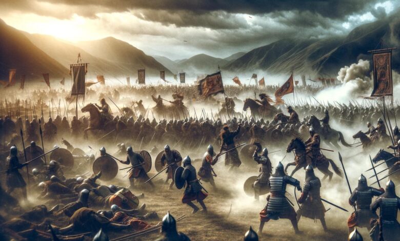
The Qadisiyah war took place in 637 or 636 AD between the Arab Muslim army and the Sassanid Empire. The Sassanids ruled the region that is Iran today between 224 and 651 AD. The Battle of Qadisiyah was a decisive victory for the Muslim army and the beginning of the final conquest of Iran by Muslims.
Archaeologist William Dedman of the University of Durham in the UK and his colleagues did not initially seek to find the site of the lost battle. Using satellite images from 1973, they were examining the pilgrimage route known as “Darb Zubaydah”, which was part of the process of examining the aforementioned route for registration as a UNESCO World Heritage Site.
read more
According to the UNESCO report, the Zubaydah Gate connected the city of Kufa in Iraq to Mecca in Arabia, and it was the most important pilgrimage route between 750 and 850 AD during the Abbasid Caliphate, the golden age of Muslim civilization.
When researchers examined newly declassified satellite images, they thought they might be able to find the Qadisiyah battlefield. The records of the battle had provided them with clues about the battle site. For example, it was mentioned in the written records that there was a 10-kilometer long wall that connected Qadisiyah to a nearby city, and that this city was located in the south of a water area, between a moat and a bridged stream.
Using these clues, Dedman found a farm that matched the descriptions in the historical records. Finally, the survey of this farm confirmed the discussed finding. The researchers identified a ten-kilometer wall as well as a moat located in the north of the city, which were mentioned in historical texts.


